
Route 1 - Lakes and Dinosaurs
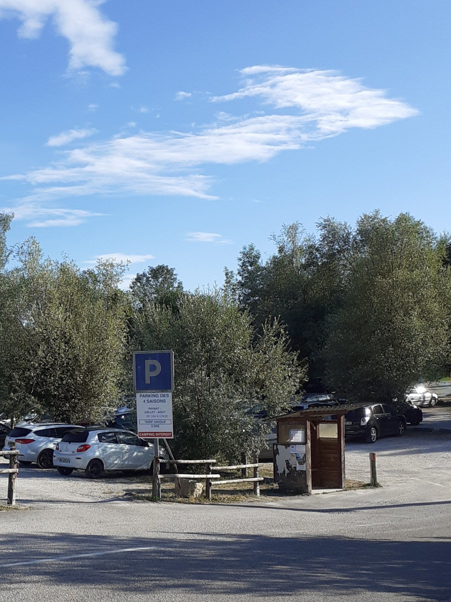
Starting from the car park (fee peak season) opposite the Pargola Camping.
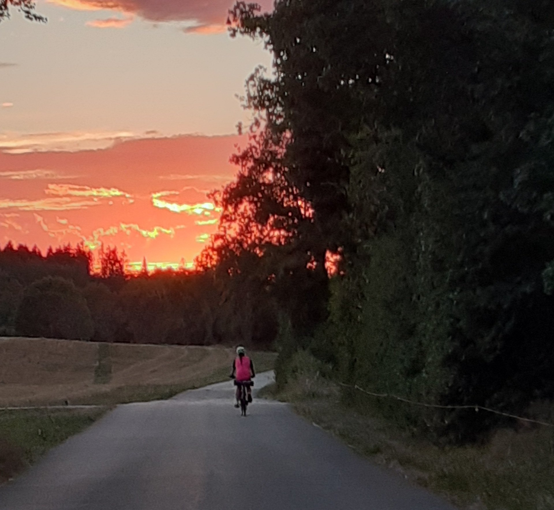
After a few hundred metres, sorry not much time to warm up, you turn and climb, first through the village of Marigny followed by several kilometers of forest and mountain pastures.
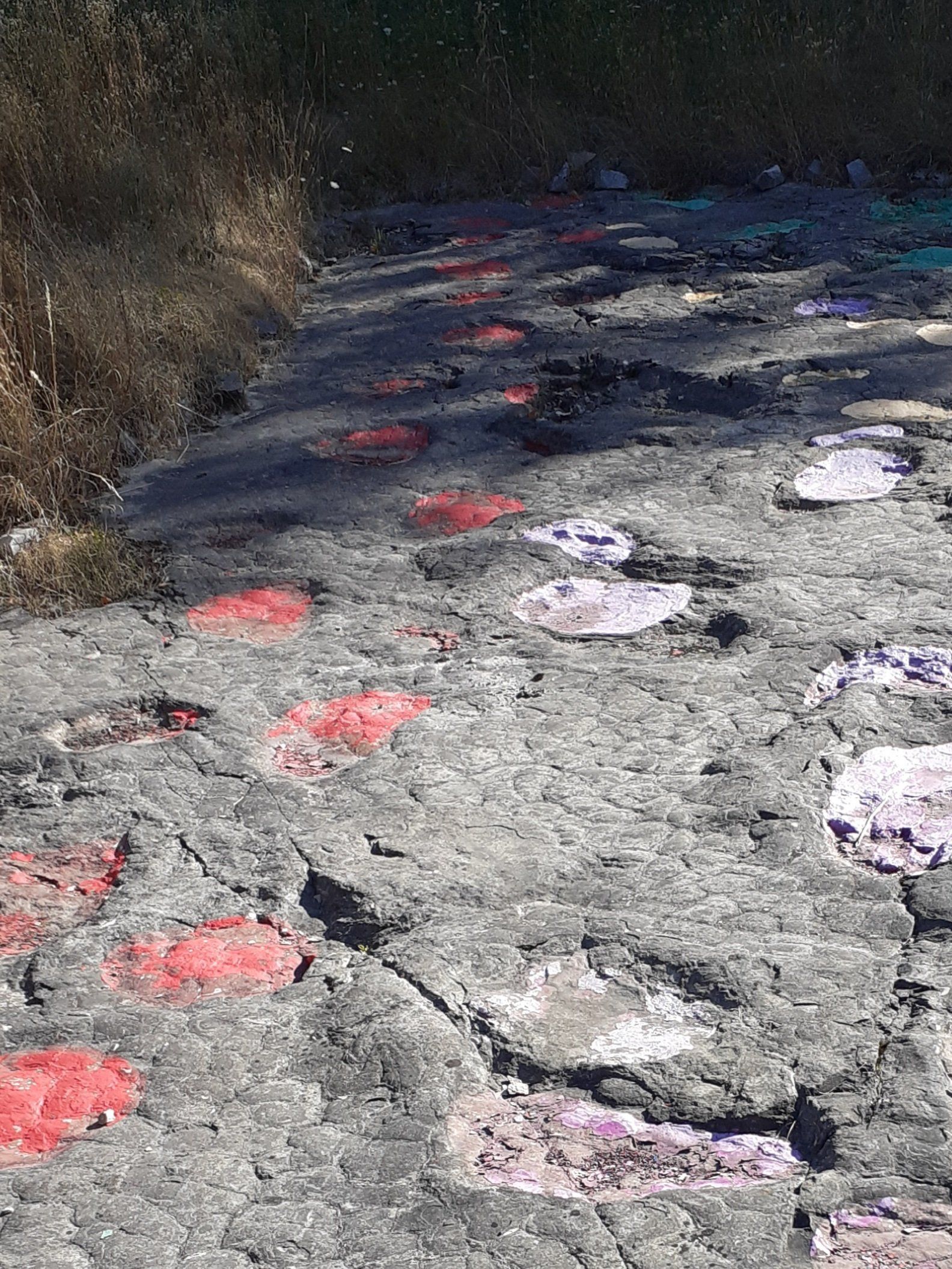
At the village of Loulle there is a small detour to view the Dinosaur Footprints (point 2) and then another stop at the Lapiaz, a maze of Lime Stone cut and worn by water (point 3) as you exit the village.
You will now see far reaching views of the Haut Jura before you climb to the village of Chateauneuf and its forests.
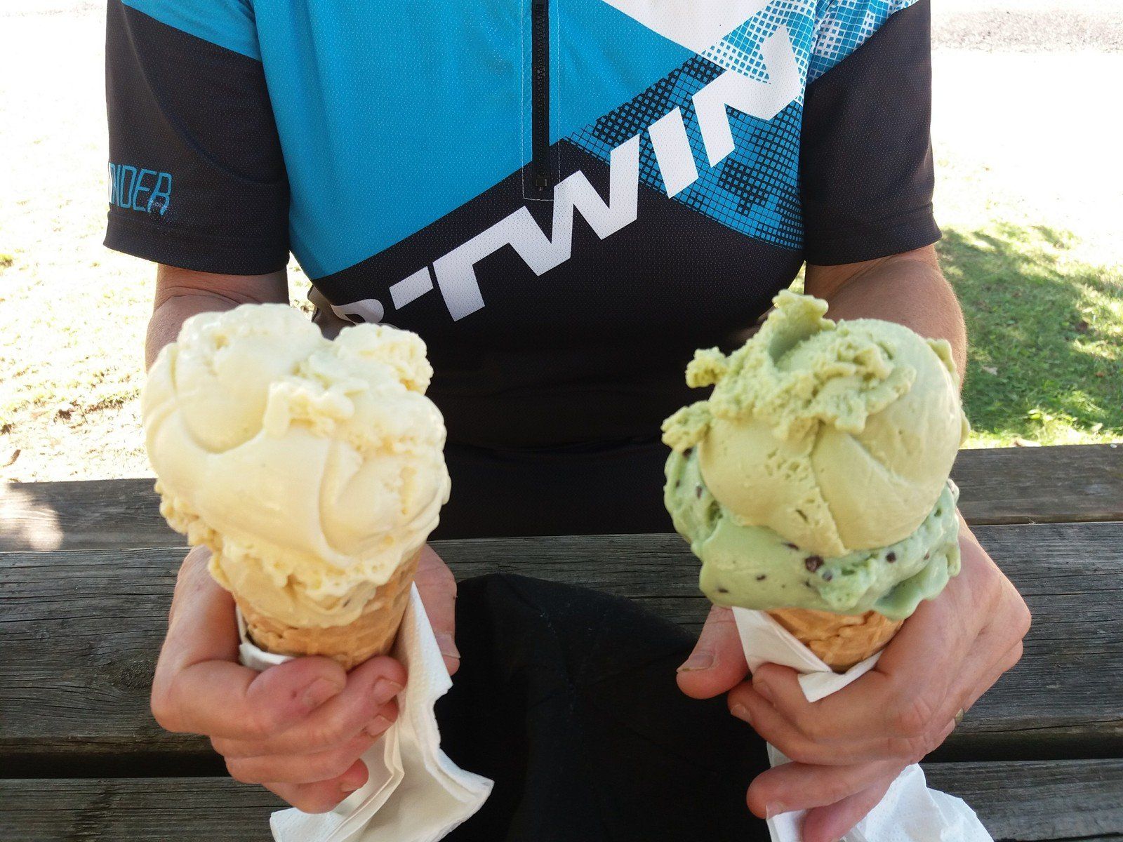
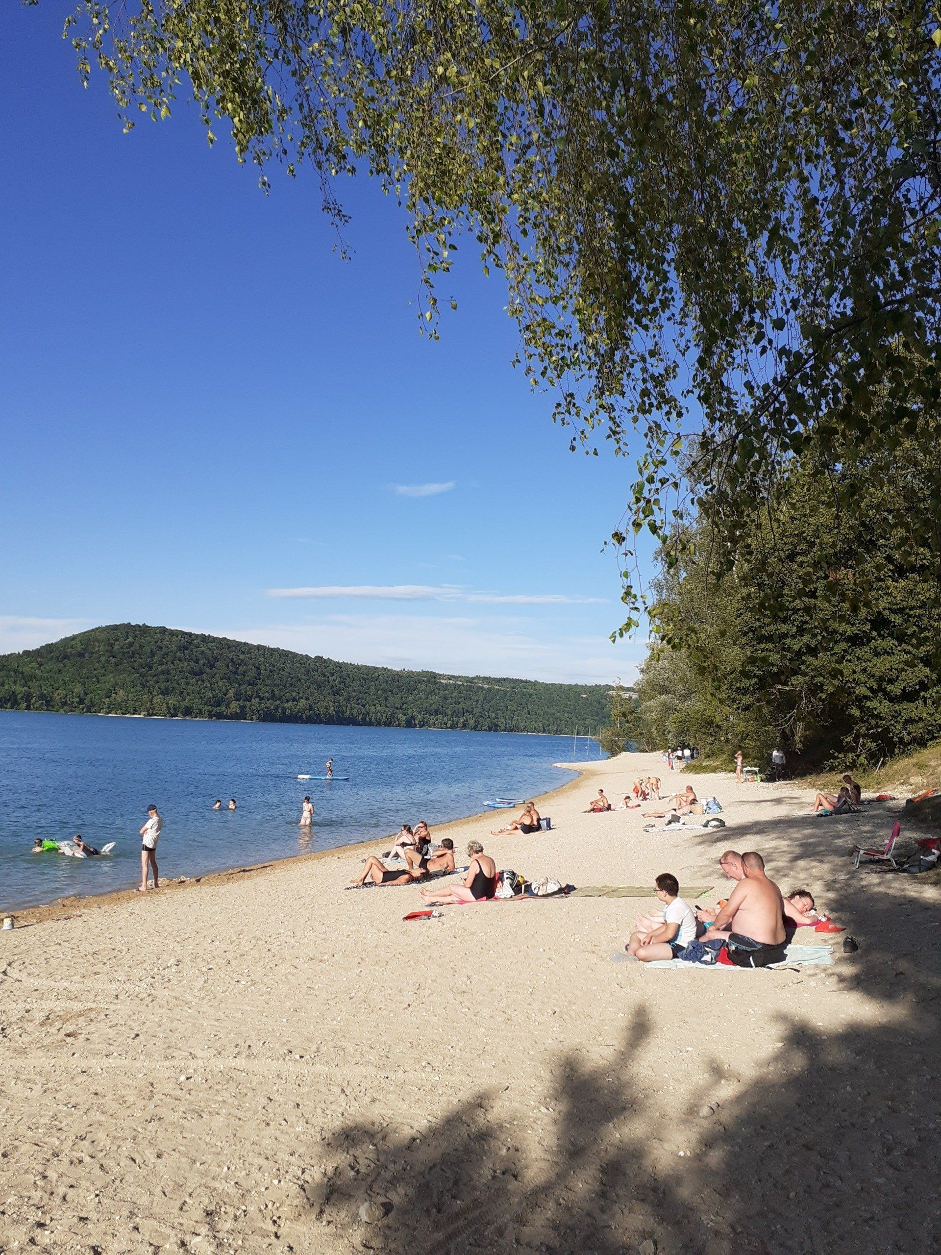
Turning right, opposite the church with its decorated tower, you then descend to the village of Fontenu (point 5). In high summer it is possible to stop for farm made ice cream which we highly recommend. The descent continues for a short while to the view point of Lake Chalain (point 6). Then on to Doucier and Lake Chalain (point 7) where it is possible to swim.
Back on the road (if you have been for a swim) past the lake you will reach the car park and the end of the ride.
Version française
Départ du parking (payant en haute saison) en face du camping Pargola.
Après quelques centaines de mètres, désolé pas beaucoup de temps pour s'échauffer, on tourne et on monte, d'abord par le village de Marigny suivi de plusieurs kilomètres de forêt et d'alpages.
Au village de Loulle il y a un petit détour pour voir les Empreintes de Dinosaures (point 2) puis un autre arrêt au Lapiaz, un labyrinthe de Calcaire taillé et usé par l'eau (point 3) à la sortie du village.
Vous verrez maintenant des vues lointaines sur le Haut Jura avant de monter vers le village de Châteauneuf et ses forêts.
Tournez à droite, face à l'eglise au clocher décoré, vous descendez ensuite jusqu'au village de Fontenu (point 5). En plein été, il est possible de s'arrêter pour des glaces artisanales, que nous vous recommandons. La descente se poursuit un court instant jusqu'au belvédère du lac de Chalain (point 6). Puis direction Doucier et le lac de Chalain (point 7) où il est possible de se baigner.
De retour sur la route (si vous êtes allé vous baigner) après le lac, vous atteindrez le parking et la fin de la balade.
Route Info
Intermediate Level
39 KM / 24 Miles
430 Metres / 1410 Feet
If you have found this useful please consider
buying me a coffee. A coffee helps turn the wheels!
You can find links to all our social media via Linktree
Copyright © 2024 Jenni and Martin Clarke. All Rights Reserved